
Palo Verde National Park
Parque Nacional Palo Verde
Added by
Anonymous Curator
Reviewed by
Under Review
Last modified by
Julia Trouin
Description
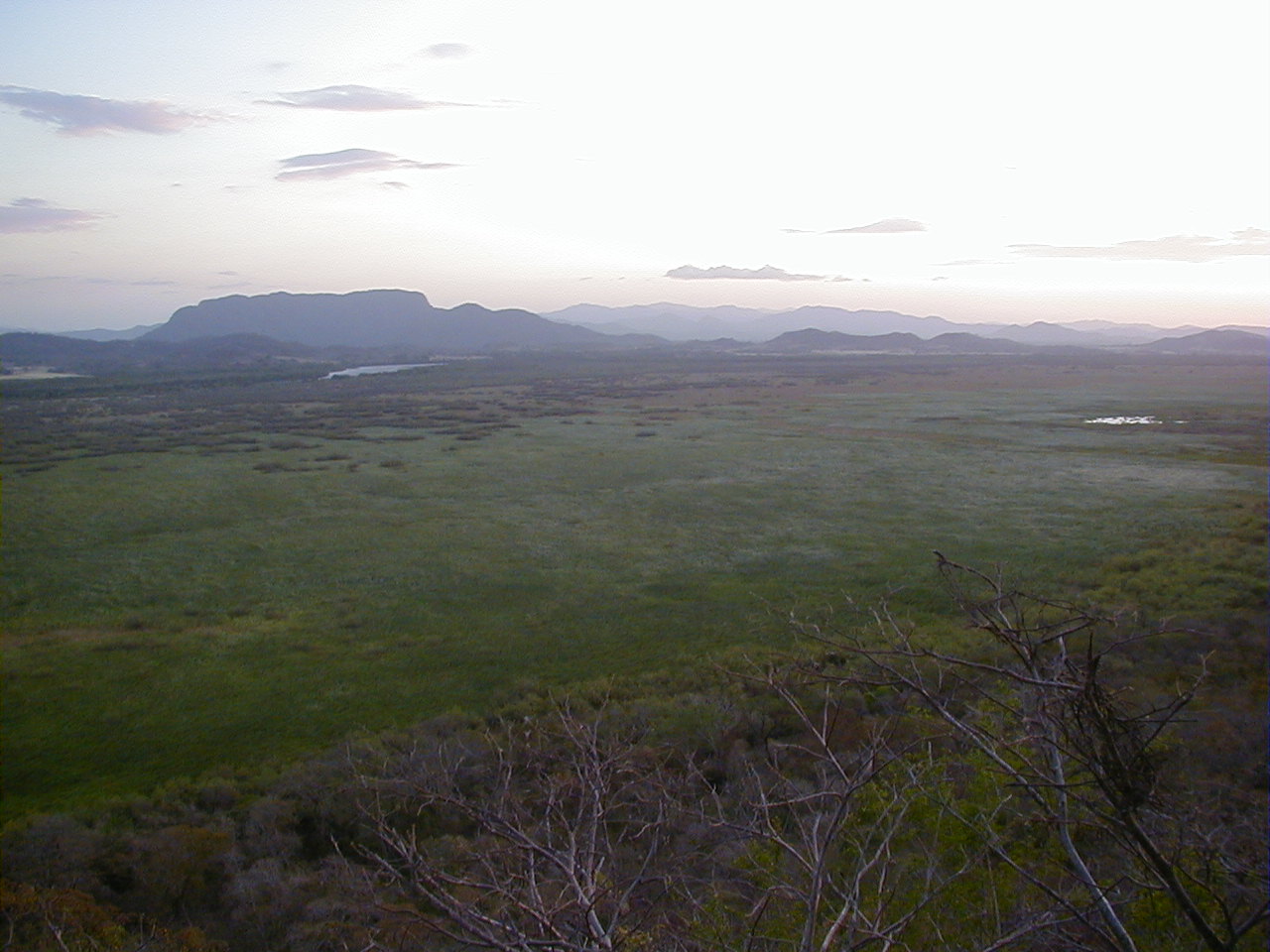
A wetland sanctuary of international importance (RAMSAR Site). It is one of the most threatened ecosystems in Central America and the most important place in Costa Rica for observing migratory and resident waterfowl, located in the lower basin of the Tempisque River.
ClassificationAdministrative and legal categories that govern how this area is managed and protected.
HistoryHistorical background, founding story, and timeline of legal protection designation.
Originally, Palo Verde was an extensive cattle ranch. It was declared a wildlife refuge in 1978 and upgraded to a National Park in 1990. Its declaration as a RAMSAR Site in 1991 recognized its vital importance as a waterfowl habitat on the Pacific migratory route.
Surface AreaTotal surface area subdivided by terrestrial, marine, and buffer zones in hectares.
Entry FeesEntry fee structure for Costa Rican residents and international visitors, in CRC and USD.
Online payment required through the SINAC SICAP system prior to visit. Lodging and dining options at the Biological Station managed by OTS (requires separate reservation).
EcosystemsVegetation communities and ecosystem types present within this protected area.
An exceptional mosaic of 15 different habitats. Highlights include freshwater and brackish lagoons, swamps, mangroves along the Tempisque River, flooded grasslands, and patches of tropical dry forest, on limestone and alluvial plains.
WildlifeNotable fauna and flora documented through scientific surveys and long-term monitoring.
The birding mecca of Costa Rica, congregating tens of thousands of waterfowl (whistling-ducks, herons, ibises, jabiru storks) in the dry season. Huge American crocodiles abound in the Tempisque River, as well as iguanas, howler and white-faced monkeys, and coatis.
How to Get ThereHow to reach this protected area by road, public bus, boat, or guided tour.
Located 30 km from Bagaces. The gravel road can be very difficult in the rainy season (September-November), requiring a high-clearance 4x4. Another popular way to access is by boat navigating the Tempisque River from places like Puerto Humo.
ClimateTypical weather patterns, temperature ranges, and seasonal rainfall affecting this location.
Hot and dry most of the year (28°C - 35°C). The dry season (December to April) dries up the temporary lagoons, concentrating the birds in the few permanent bodies of water, creating an unparalleled natural spectacle.
Visitor RegulationsVisitor rules and restrictions designed to protect the natural heritage of this area.
It is an extremely fragile ecosystem. Feeding animals (especially crocodiles or monkeys), using drones without permission so as not to disturb the birds, and leaving trash are prohibited. Guided boat tours must be conducted with SINAC-certified operators.
Best Seasons to Visit
Regions
Facilities & ServicesInfrastructure and services available: ranger stations, restrooms, parking, and lodges.
HighlightsDistinctive features and attractions that make this protected area exceptional.
Main ThreatsDocumented pressures reducing the population: habitat loss, hunting, disease, climate change, and invasive species.
- Especies invasoras (tifa) que secan los humedales
- Contaminación agroquímica de plantaciones aledañas
- Incendios forestales
ConservationActive programs and initiatives working to protect and restore this habitat or area.
- Manejo activo del humedal (fangueo) para controlar la tifa
- Monitoreo constante de poblaciones de aves
- Investigación científica apoyada por la OET