
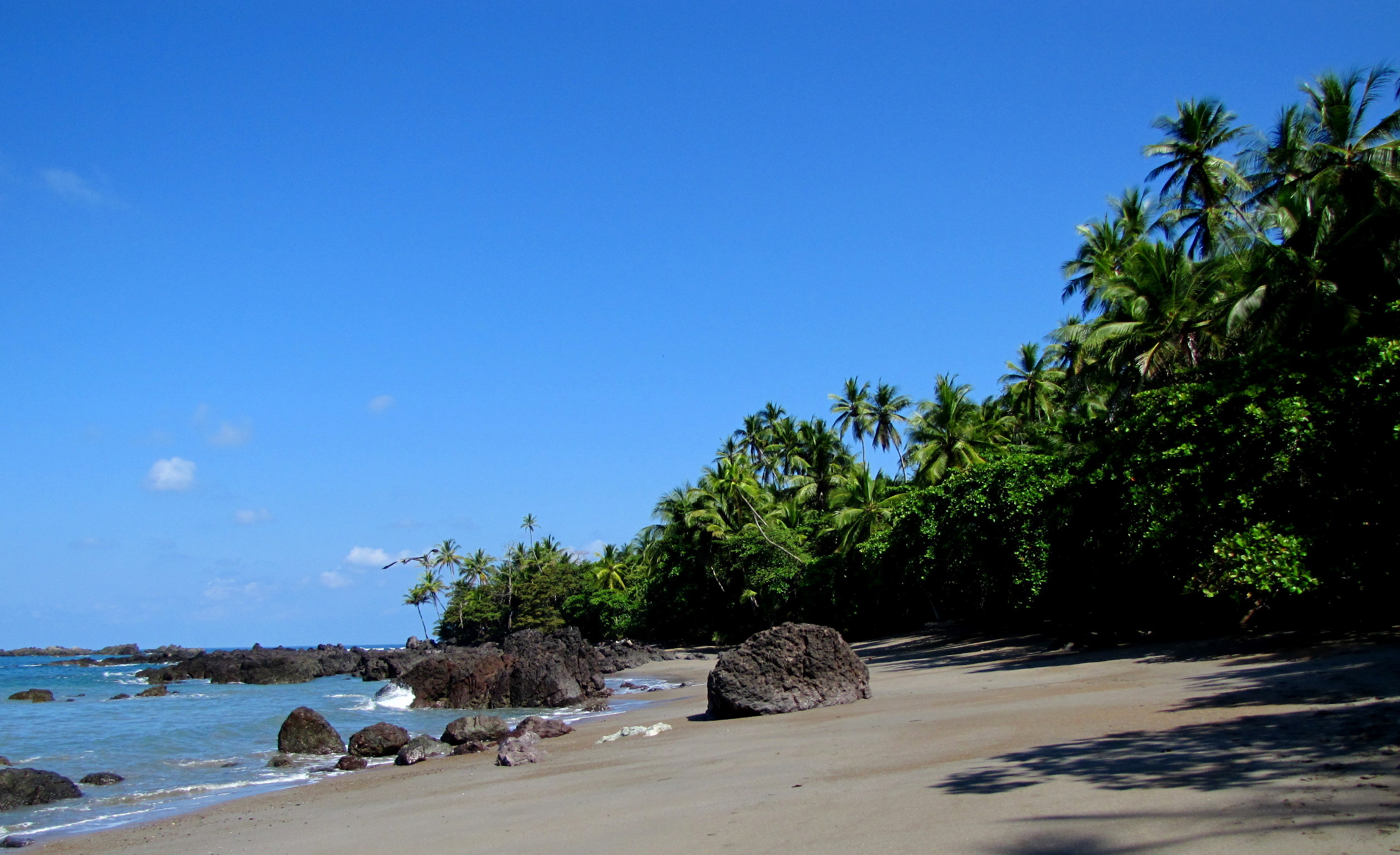
Corcovado National Park
Parque Nacional Corcovado
Added by
Anonymous Curator
Reviewed by
Under Review
Last modified by
Julia Trouin
Description
Considered the most biologically intense place on Earth by National Geographic, Corcovado protects the last expanse of virgin tropical very humid forest in the American Pacific. It is a wild and remote ecosystem where primary jungle merges with deserted beaches, harboring healthy populations of endangered species in an environment of breathtaking natural beauty.
ClassificationAdministrative and legal categories that govern how this area is managed and protected.
HistoryHistorical background, founding story, and timeline of legal protection designation.
Established in 1975, its creation was a milestone in stopping the deforestation and illegal gold mining that threatened the Osa Peninsula. During the 1980s, the park faced a crisis due to the invasion of thousands of gold miners, who were relocated to save this world heritage. Today it is a model for management in remote areas and a bastion for international scientific research.
Surface AreaTotal surface area subdivided by terrestrial, marine, and buffer zones in hectares.
Entry FeesEntry fee structure for Costa Rican residents and international visitors, in CRC and USD.
Ticket purchase is exclusively online on the SINAC site well in advance (very limited spots). Guide costs and boat transportation are additional and must be arranged with authorized private operators.
EcosystemsVegetation communities and ecosystem types present within this protected area.
It houses a mosaic of terrestrial and marine ecosystems: evergreen tropical very humid forest, imposing mangroves, palm swamps (jolillo), swamp forests, and freshwater lagoons. Its marine shelf includes coral reefs and migration zones for cetaceans, maintaining a constant flow of energy between the ocean and the jungle.
WildlifeNotable fauna and flora documented through scientific surveys and long-term monitoring.
It is the last refuge in Costa Rica for large populations of Jaguar, Puma, and the Baird's Tapir. It is home to all four monkey species in the country and the largest population of Scarlet Macaws. Bull sharks and crocodiles inhabit its rivers, while hawksbill and green turtles nest on its coast. Its insect and amphibian biodiversity is beyond measure.
How to Get ThereHow to reach this protected area by road, public bus, boat, or guided tour.
Access is complex and exciting. You can arrive by boat from Sierpe or Drake Bay to the San Pedrillo or Sirena sectors. By land, access is from Puerto Jimenez to Carate (requires a 4x4 and then a 3.5 km hike along the beach to enter the park). Small plane flights are also available directly to the Sirena airstrip.
ClimateTypical weather patterns, temperature ranges, and seasonal rainfall affecting this location.
Extreme tropical very humid climate. It rains intensely most of the year, with a short dry season from January to April. Temperatures range between 24°C and 34°C with humidity often exceeding 90%, requiring constant hydration.
Visitor RegulationsVisitor rules and restrictions designed to protect the natural heritage of this area.
A certified guide IS MANDATORY to enter any sector of the park. Hikes are physically demanding. Entry of single-use plastics, cigarettes, and drones is prohibited. Touching or feeding animals is not allowed. It is imperative to respect the tides to safely cross rivers (Llorona and Sirena).
Best Seasons to Visit
Regions
Facilities & ServicesInfrastructure and services available: ranger stations, restrooms, parking, and lodges.
HighlightsDistinctive features and attractions that make this protected area exceptional.
Main ThreatsDocumented pressures reducing the population: habitat loss, hunting, disease, climate change, and invasive species.
- Cacería furtiva y orería ilegal remanente
- Fragmentación de hábitat en la zona de amortiguamiento
- Impacto del cambio climático en los ciclos de floración y anidación
ConservationActive programs and initiatives working to protect and restore this habitat or area.
- Control y vigilancia estricta mediante patrullajes conjuntos
- Programa de monitoreo científico de felinos y tapires
- Educación ambiental con comunidades locales de Osa
- Programa de turismo sostenible con guías certificados