
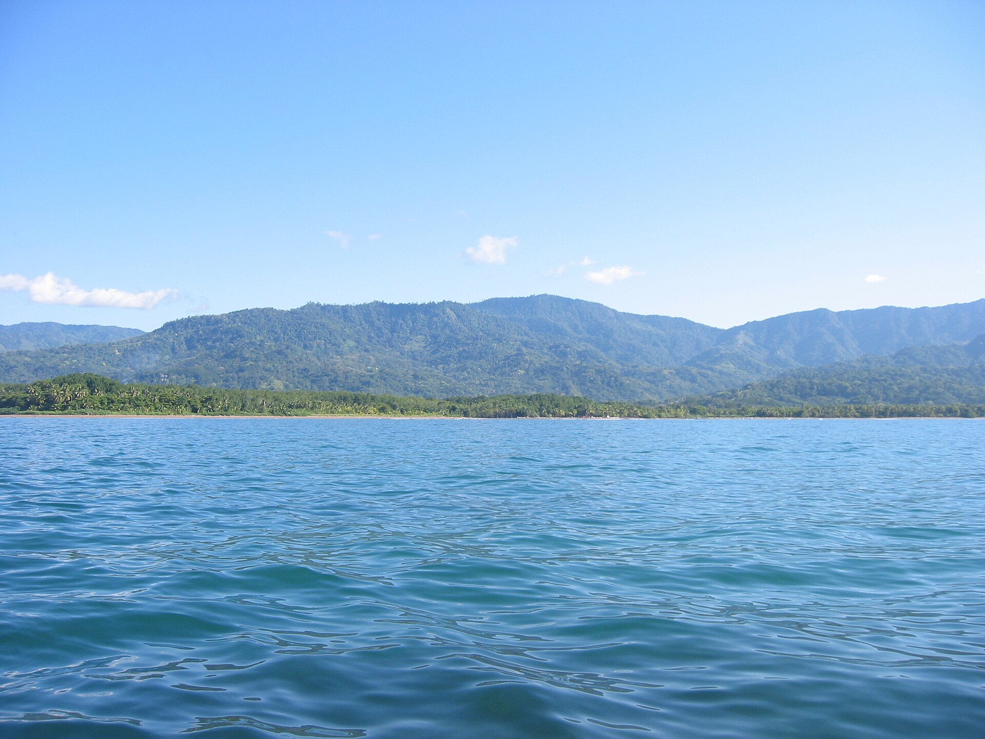
Marino Ballena National Park
Parque Nacional Marino Ballena
Added by
Anonymous Curator
Reviewed by
Under Review
Last modified by
Julia Trouin
Description
A globally unique marine sanctuary, famous for its sand and rock tombolo that forms a perfect whale tail during low tide. This park protects the largest coral reefs in the Central American Pacific and is a critical migration site where humpback whales from both hemispheres meet to breed and raise their calves in warm, safe waters.
ClassificationAdministrative and legal categories that govern how this area is managed and protected.
HistoryHistorical background, founding story, and timeline of legal protection designation.
Created in 1989 to safeguard the marine ecosystems of the Uvita and Bahía Ballena area from the pressure of commercial fishing and disorganized development. It was the first marine park established in the country. Its fame grew exponentially upon the discovery of the exact whale shape of its coastline, becoming the symbol of Costa Rican marine conservation.
Surface AreaTotal surface area subdivided by terrestrial, marine, and buffer zones in hectares.
Entry FeesEntry fee structure for Costa Rican residents and international visitors, in CRC and USD.
Mandatory card payment in the Uvita or Colonia sectors. The ticket allows entry to all terrestrial sectors of the park on the same day. Boat tours are operated by private agencies in the area.
EcosystemsVegetation communities and ecosystem types present within this protected area.
The park protects a coastal zone with beaches of great beauty, but its core is the underwater ecosystems. It houses an extensive coral shelf, sandy and rocky bottoms, and a mangrove area at the mouths of local rivers. It also includes the famous 'Tres Hermanas' rocks and Ballena Island, key sites for seabird refuge.
WildlifeNotable fauna and flora documented through scientific surveys and long-term monitoring.
It is the best place in the country to see Humpback Whales. Bottlenose and spotted dolphins are also spotted year-round. Its reefs are inhabited by parrotfish, surgeonfish, and sea turtles. On the coast, pelicans, frigatebirds, and the nesting of green and hawksbill turtles are common.
How to Get ThereHow to reach this protected area by road, public bus, boat, or guided tour.
Main access is through the community of Uvita de Osa, on the South Coastal Highway (Route 34). The road is fully paved and suitable for any vehicle. It has four entrance sectors: Uvita, Colonia, Ballena, and Piñuelas.
ClimateTypical weather patterns, temperature ranges, and seasonal rainfall affecting this location.
Humid and hot tropical climate (27°C - 33°C). The southern whale season is from July to October, and the northern ones from December to March. To enjoy the Whale Tail formation, it is essential to check the tide table to visit at low tide.
Visitor RegulationsVisitor rules and restrictions designed to protect the natural heritage of this area.
Prohibited to extract snails, shells, or corals. No commercial or sport fishing is allowed within the protected area. Whale watching tours must comply with the minimum safety distance protocol. Mandatory use of biodegradable sunscreen to protect the reef.
Best Seasons to Visit
Regions
Facilities & ServicesInfrastructure and services available: ranger stations, restrooms, parking, and lodges.
HighlightsDistinctive features and attractions that make this protected area exceptional.
Main ThreatsDocumented pressures reducing the population: habitat loss, hunting, disease, climate change, and invasive species.
- Pesca ilegal en el santuario marino
- Sedimentación de los arrecifes por escorrentía
- Impacto del cambio climático en la temperatura del agua
- Presión del turismo náutico no regulado
ConservationActive programs and initiatives working to protect and restore this habitat or area.
- Programa de monitoreo de arrecifes de coral
- Protocolos estrictos de avistamiento responsable de cetáceos
- Educación ambiental con operadores turísticos locales
- Campaña permanente de recolección de residuos marinos