
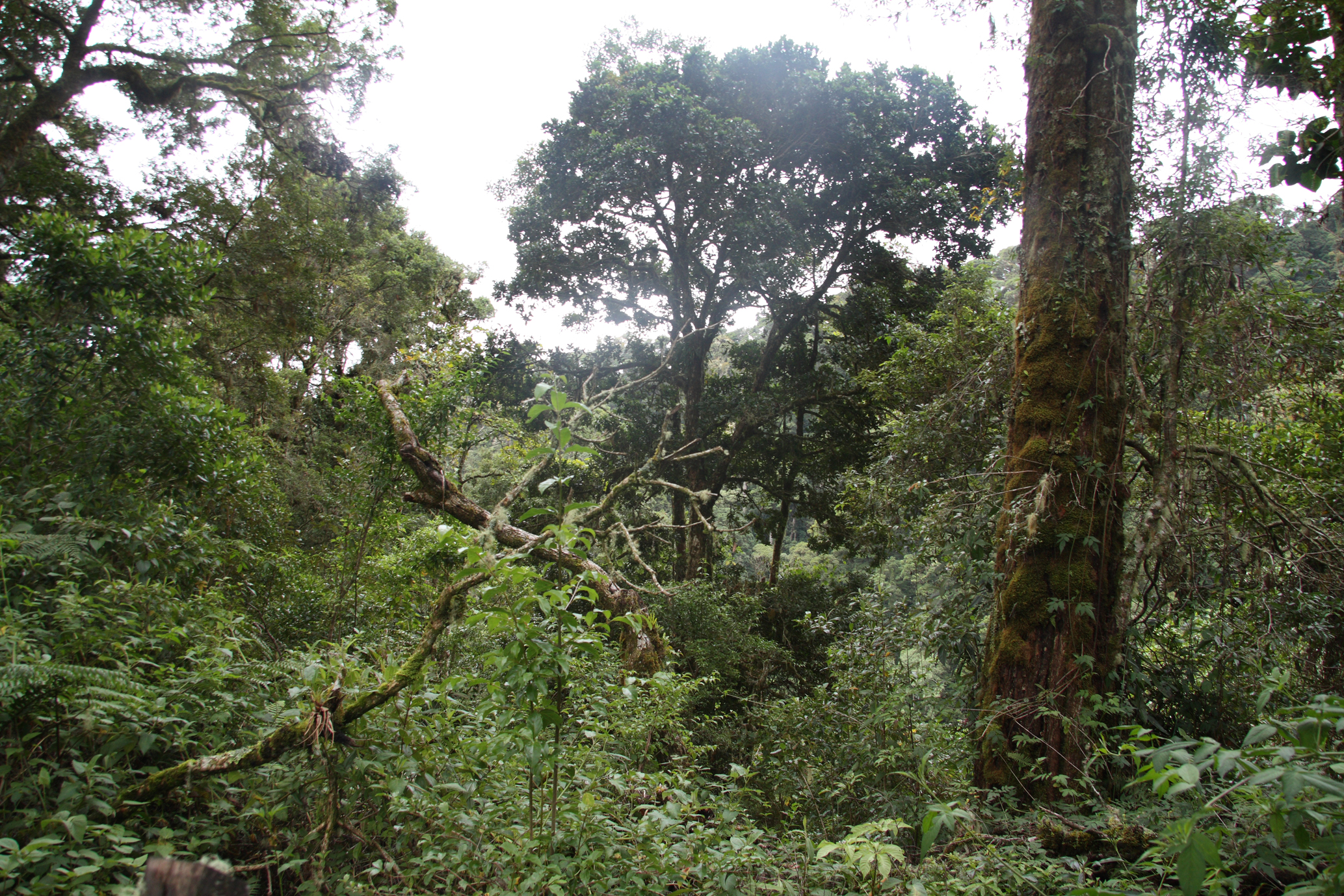
La Amistad International Park
Parque Internacional La Amistad
Added by
Anonymous Curator
Reviewed by
Under Review
Last modified by
Julia Trouin
Description
The largest terrestrial protected area in Costa Rica and one of the most remote. This immense international park, shared with Panama, is a UNESCO World Heritage Site. It protects most of the Talamanca Mountain Range, harboring a stunning diversity of microclimates and virgin ecosystems ranging from tropical lowlands to subalpine paramo peaks.
ClassificationAdministrative and legal categories that govern how this area is managed and protected.
HistoryHistorical background, founding story, and timeline of legal protection designation.
Established in 1982 as a symbol of peace and cooperation between Costa Rica and Panama. Its creation was a scientific response to the need to preserve the oldest and most diverse mountain massif in southern Central America. In 1983, it was declared a World Heritage Site, noted for being a crucial refuge during the Pleistocene glaciations, allowing for the mixing of species from North and South America.
Surface AreaTotal surface area subdivided by terrestrial, marine, and buffer zones in hectares.
Entry FeesEntry fee structure for Costa Rican residents and international visitors, in CRC and USD.
Mandatory card payment at the Altamira or Santa Maria posts. Mountain expeditions require prior registration and may have additional costs for local guide services.
EcosystemsVegetation communities and ecosystem types present within this protected area.
It is the park with the greatest diversity of ecosystems in the country, including very humid tropical forest, montane rainforest, cloud forest, and subalpine paramo (tropical tundra). Its geography is extremely rugged, with deep canyons, sharp ridges, and hundreds of crystal-clear rivers feeding the most important basins on both slopes.
WildlifeNotable fauna and flora documented through scientific surveys and long-term monitoring.
Home to all six types of felines in Costa Rica, including large populations of Jaguar and Puma. It is a critical refuge for the Baird's tapir and the resplendent quetzal. It houses unique species such as the forest rabbit and the volcano mouse. Its birdlife is exceptional, with over 400 species, many endemic to the Talamanca range.
How to Get ThereHow to reach this protected area by road, public bus, boat, or guided tour.
Due to its size, it has multiple controlled access points. The most common are the Altamira de Biolley sector (Puntarenas) and the Tres Colinas sector. Access requires a high-clearance 4x4 vehicle, and the roads are usually difficult gravel, especially during the rainy season. It is a destination for serious hiking and mountain expeditions.
ClimateTypical weather patterns, temperature ranges, and seasonal rainfall affecting this location.
Extremely variable depending on altitude. In the lowlands, it is warm and humid (25°C). On the mountain peaks, the weather is cold and windy, with temperatures that can drop to 0°C or below at night. It rains almost year-round on the Caribbean slope.
Visitor RegulationsVisitor rules and restrictions designed to protect the natural heritage of this area.
Accompanying certified guides is mandatory for multi-day expeditions. Entry of single-use plastics, cigarettes, and drones is totally prohibited. Campfires are forbidden. Mountain equipment must be high quality given the extreme and changing weather on the peaks. Collection of any species is not allowed.
Best Seasons to Visit
Regions
Facilities & ServicesInfrastructure and services available: ranger stations, restrooms, parking, and lodges.
HighlightsDistinctive features and attractions that make this protected area exceptional.
Main ThreatsDocumented pressures reducing the population: habitat loss, hunting, disease, climate change, and invasive species.
- Cacería furtiva y extracción de especies
- Incendios forestales en el páramo
- Avance de la frontera agrícola
- Desafíos de vigilancia por su inmensa extensión
ConservationActive programs and initiatives working to protect and restore this habitat or area.
- Gestión binacional compartida con Panamá
- Programa de monitoreo de grandes felinos
- Conservación del hábitat del Quetzal
- Protección de nacientes de agua para el sur del país