
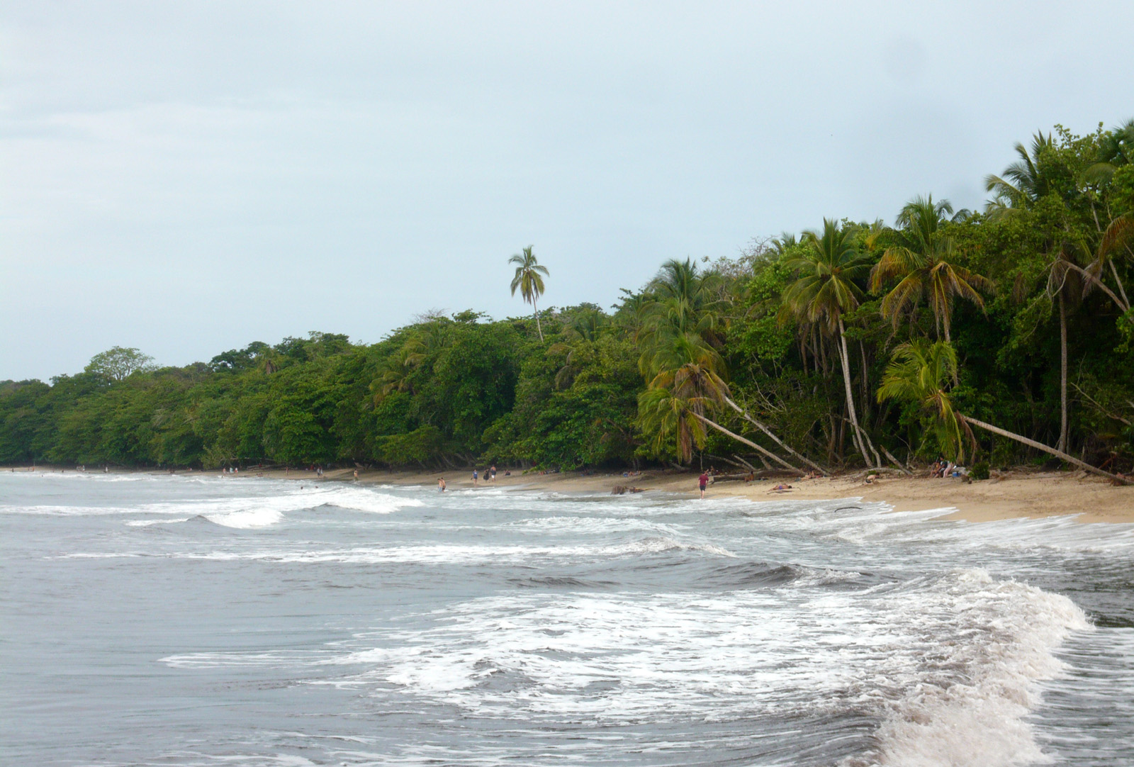
Cahuita National Park
Parque Nacional Cahuita
Added by
Anonymous Curator
Reviewed by
Under Review
Last modified by
Julia Trouin
Description
A Caribbean paradise that combines white sand beaches, turquoise waters, and a vibrant tropical jungle that merges with the sea. Cahuita is famous for harboring the most extensive and healthy coral reef on Costa Rica's Caribbean coast, offering exceptional conditions for snorkeling. Its coastal trail allows for walking through almond forests and mangroves while observing amazingly close wildlife, all within a unique cultural atmosphere marked by the region's Afro-descendant heritage.
ClassificationAdministrative and legal categories that govern how this area is managed and protected.
HistoryHistorical background, founding story, and timeline of legal protection designation.
Originally established as a National Monument in 1970 to protect the reef, it was upgraded to a National Park in 1978. Its history is unique in the country: after years of land conflicts, a historic Co-management agreement was signed in 1997, where the local community actively participates in the administration and protection of the park. This alliance has turned Cahuita into a symbol of socially responsible and sustainable conservation.
Surface AreaTotal surface area subdivided by terrestrial, marine, and buffer zones in hectares.
Entry FeesEntry fee structure for Costa Rican residents and international visitors, in CRC and USD.
Important Note! Entry through the Playa Blanca Sector operates under a suggested voluntary contribution system to the Co-management Association. Entry through the Puerto Vargas Sector does require mandatory payment of the SINAC fee by card.
EcosystemsVegetation communities and ecosystem types present within this protected area.
It protects a complex mosaic of terrestrial and marine ecosystems. On land, the highlights are the tropical humid forest, swamp forests, and high-altitude mangroves. At sea, the core is the fringe-type coral reef, housing over 35 species of corals, 120 species of fish, and an immense variety of mollusks and crustaceans that depend on the health of seagrass meadows.
WildlifeNotable fauna and flora documented through scientific surveys and long-term monitoring.
It is one of the best sites to see two-toed and three-toed sloths very close to the trails. White-faced and howler monkeys, raccoons, coatis, and iguanas abound. In the forest sector, it is common to find the eyelash pit viper. Notable birds include the keel-billed toucan, white hawk, and kingfisher. Underwater, angelfish, parrotfish, manta rays, and occasionally reef sharks are seen.
How to Get ThereHow to reach this protected area by road, public bus, boat, or guided tour.
Located 42 km south of Limón city. Access is via a paved road (Route 36) suitable for all types of vehicles. It has two main entrances: the Playa Blanca Sector (in Cahuita village) and the Puerto Vargas Sector (5 km south). Most tourists prefer entering through Playa Blanca to complete the full coastal hike.
ClimateTypical weather patterns, temperature ranges, and seasonal rainfall affecting this location.
Humid tropical climate. Unlike the rest of the country, the driest months with the best marine visibility in the Caribbean are September and October. Temperatures are warm and constant, between 25°C and 32°C. Rain is frequent but usually short-lived.
Visitor RegulationsVisitor rules and restrictions designed to protect the natural heritage of this area.
Single-use plastics are prohibited. Feeding animals is not allowed (monkeys and raccoons can be aggressive seeking food). Snorkeling on the reef MUST be done with a certified guide to avoid coral damage. Biodegradable sunscreen is recommended. Pets and shell extraction are not allowed.
Best Seasons to Visit
Regions
Facilities & ServicesInfrastructure and services available: ranger stations, restrooms, parking, and lodges.
HighlightsDistinctive features and attractions that make this protected area exceptional.
Main ThreatsDocumented pressures reducing the population: habitat loss, hunting, disease, climate change, and invasive species.
- Sedimentación que asfixia el arrecife de coral
- Aumento de la temperatura del mar por cambio climático
- Turismo masivo en temporada alta
- Presencia de basura marina arrastrada por corrientes
ConservationActive programs and initiatives working to protect and restore this habitat or area.
- Programa de restauración de corales
- Sistema de Comanejo Estado-Comunidad
- Monitoreo biológico de arrecifes
- Educación ambiental y gestión de residuos con locales