
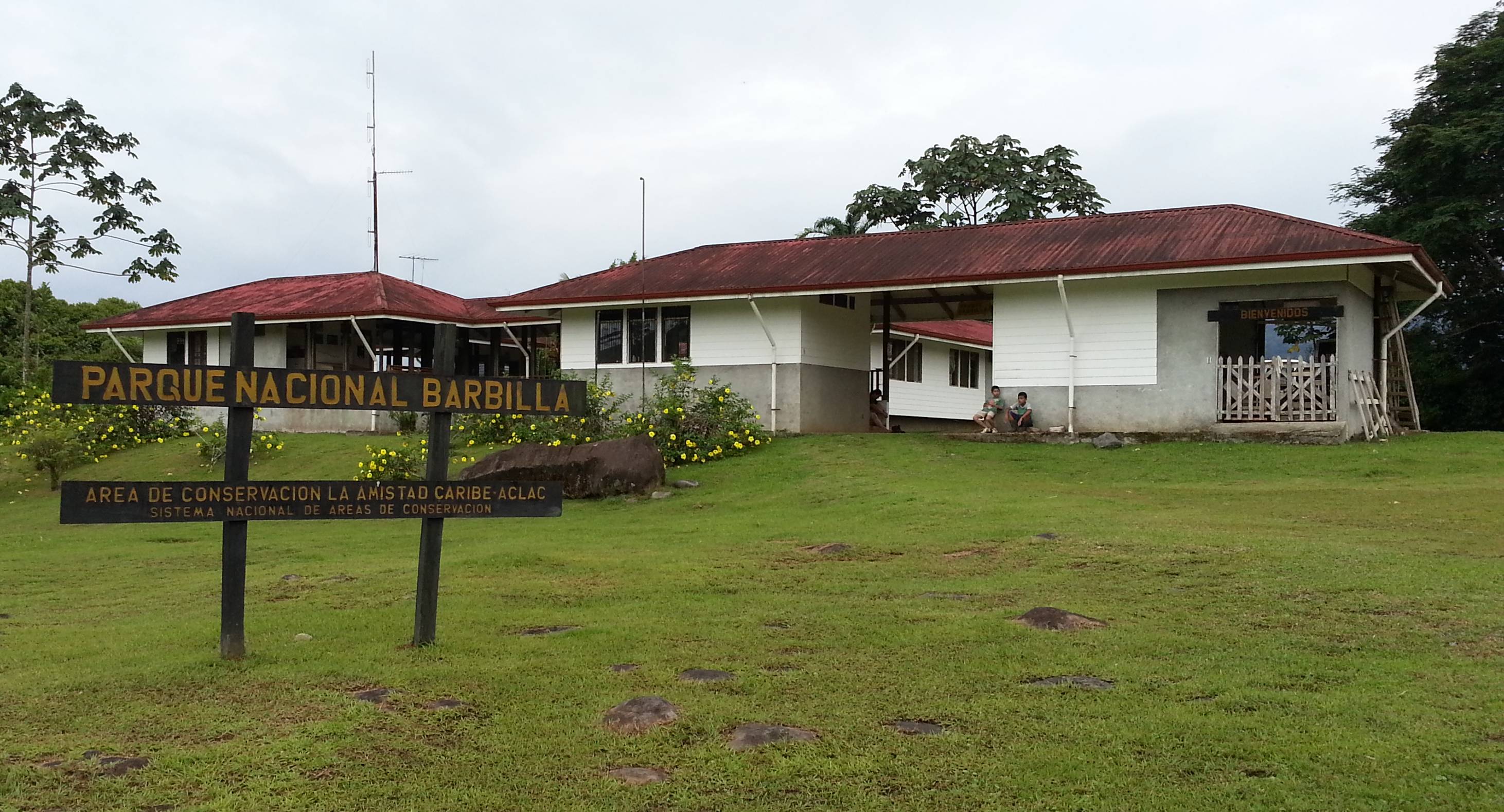
Barbilla National Park
Parque Nacional Barbilla
Added by
Anonymous Curator
Reviewed by
Under Review
Last modified by
Julia Trouin
Description
One of the most remote and least visited wild areas in Costa Rica. Barbilla protects a vast and rugged expanse of primary forest on the Caribbean slope of the Talamanca Mountain Range. Its isolation has allowed the preservation of pristine ecosystems and the maintenance of the traditional ways of life of the Cabecar indigenous communities living on its borders.
ClassificationAdministrative and legal categories that govern how this area is managed and protected.
HistoryHistorical background, founding story, and timeline of legal protection designation.
Originally established as a Biological Reserve in 1982, it was declared a National Park in 1998 due to its vital importance for the protection of the Dantas river basin and its biological wealth. Its creation and current management involve a delicate balance, as it directly borders the Chirripo Indigenous Reserve, recognizing the rights of the original inhabitants to the sustainable use of the forest.
Surface AreaTotal surface area subdivided by terrestrial, marine, and buffer zones in hectares.
Entry FeesEntry fee structure for Costa Rican residents and international visitors, in CRC and USD.
Payment of the official fee must be made through SINAC's digital platforms. It is advisable to contact local guides in Siquirres in advance, as their fees are separate from the entrance ticket.
EcosystemsVegetation communities and ecosystem types present within this protected area.
It is an area of tropical very humid forest and premontane rainforest. Its topography is extremely rugged, with steep slopes and an intricate network of crystal-clear rivers and streams. This ecosystem is fundamental for the purification of the water that descends to the Caribbean plains.
WildlifeNotable fauna and flora documented through scientific surveys and long-term monitoring.
Due to its isolation and low visitation, it is an ideal habitat for large threatened mammals such as the jaguar, puma, ocelot, Baird's tapir, and collared peccary. Its rich birdlife includes sunbitterns, toucans, guans, and a wide variety of eagles and hawks. The diversity of amphibians and insects is exceptionally high.
How to Get ThereHow to reach this protected area by road, public bus, boat, or guided tour.
It is one of the most difficult parks to access. You must first reach the canton of Siquirres, and then turn towards the community of Brisas de Pacuarito. From there, the dirt and stone road absolutely requires an excellent 4x4 vehicle, and the final stretches must be done on foot. During the rainy season, vehicular access may be impossible.
ClimateTypical weather patterns, temperature ranges, and seasonal rainfall affecting this location.
Tropical very humid climate. In the Caribbean, it rains abundantly almost all year round. However, the months with less precipitation or 'little summers' are usually February, March, September, and October. Hot temperatures in the lowlands (25°C - 30°C).
Visitor RegulationsVisitor rules and restrictions designed to protect the natural heritage of this area.
To enter the long trails, it is highly recommended, almost mandatory, to go with a local guide or a member of the indigenous community, due to the lack of signage and the dense jungle. There are no tourist facilities inside the park. Extracting resources, hunting, and bringing in plastics are prohibited. You must prepare for a rugged experience and carry everything you need.
Best Seasons to Visit
Regions
Facilities & ServicesInfrastructure and services available: ranger stations, restrooms, parking, and lodges.
HighlightsDistinctive features and attractions that make this protected area exceptional.
Main ThreatsDocumented pressures reducing the population: habitat loss, hunting, disease, climate change, and invasive species.
- Tala ilegal intermitente
- Caza furtiva en los límites del parque
- Caminos de acceso casi intransitables
ConservationActive programs and initiatives working to protect and restore this habitat or area.
- Proyectos de conservación comunitaria con los indígenas Cabécar
- Monitoreo biológico de la ruta del jaguar
- Preservación del recurso hídrico caribeño