
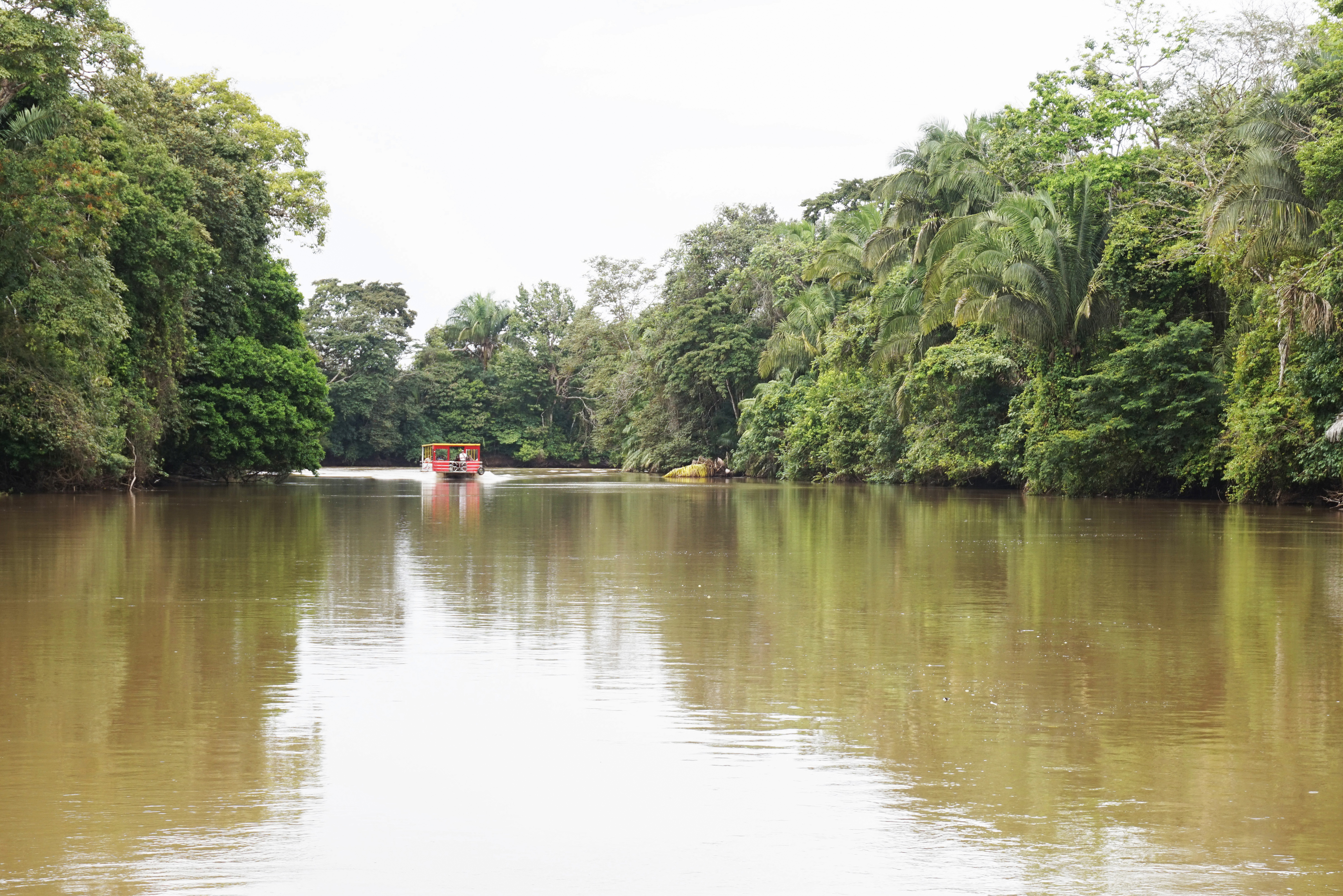
Caño Negro National Wildlife Refuge
Refugio Nacional de Vida Silvestre Caño Negro
Added by
Anonymous Curator
Reviewed by
Under Review
Last modified by
Julia Trouin
Description
Wetland sanctuary of international importance (RAMSAR Site) located in the northern plains. It is a paradise for birdwatchers, characterized by an immense seasonal lagoon fed by the Frío River, creating a vital habitat for migratory and resident species of high biological value.
ClassificationAdministrative and legal categories that govern how this area is managed and protected.
HistoryHistorical background, founding story, and timeline of legal protection designation.
Created in 1984, its establishment addressed the urgent need to protect northern Costa Rica's wetland ecosystems against agricultural expansion. In 1991, it was designated as a RAMSAR Site, recognizing its crucial role as a stopover for thousands of migratory birds traveling across the American continent.
Surface AreaTotal surface area subdivided by terrestrial, marine, and buffer zones in hectares.
Entry FeesEntry fee structure for Costa Rican residents and international visitors, in CRC and USD.
Mandatory card payment at SINAC posts. It is recommended to book boat tours from the town of Caño Negro or Los Chiles to access the best viewing areas.
EcosystemsVegetation communities and ecosystem types present within this protected area.
The refuge is composed of a network of seasonal lagoons, swamps, flooded grasslands, and riparian forests. During the rainy season, the Frío River overflows and fills the main lagoon (800 hectares), while in summer it reduces to small canals and puddles where wildlife concentrates.
WildlifeNotable fauna and flora documented through scientific surveys and long-term monitoring.
Famous for harboring the Gaspar fish (Atractosteus tropicus), considered a living fossil. It is the nesting site of the Jabiru, the largest stork in the Americas. Caimans, river turtles, howler and white-faced monkeys abound, along with an impressive diversity of birds such as roseate spoonbills and kingfishers.
How to Get ThereHow to reach this protected area by road, public bus, boat, or guided tour.
Access is via land from San Jose to Ciudad Quesada and then towards Los Chiles (northern border). From Los Chiles, access to the heart of the refuge is best done by boat along the Frío River. The town of Caño Negro is also accessible via a gravel road (4x4 recommended in winter).
ClimateTypical weather patterns, temperature ranges, and seasonal rainfall affecting this location.
Humid tropical climate with temperatures between 24°C and 32°C. The best time for concentrated waterfowl viewing is summer (January to April). In winter (June to October), the landscape is a vast water mirror ideal for scenic boat tours.
Visitor RegulationsVisitor rules and restrictions designed to protect the natural heritage of this area.
Fishing is prohibited in the main lagoon (except regulated artisanal fishing for locals). Use of low-impact motorboats and authorized guides is mandatory. Hunting, plant gathering, or the use of drones that could scare nesting bird colonies is not allowed.
Best Seasons to Visit
Regions
Facilities & ServicesInfrastructure and services available: ranger stations, restrooms, parking, and lodges.
HighlightsDistinctive features and attractions that make this protected area exceptional.
Main ThreatsDocumented pressures reducing the population: habitat loss, hunting, disease, climate change, and invasive species.
- Sedimentación por actividades agrícolas cercanas
- Contaminación por agroquímicos del río Frío
- Pesca y caza ilegal
- Presión del turismo no regulado
ConservationActive programs and initiatives working to protect and restore this habitat or area.
- Manejo binacional de la cuenca (con Nicaragua)
- Programa de protección del Pez Gaspar
- Educación ambiental en comunidades fronterizas
- Mantenimiento del estatus RAMSAR