
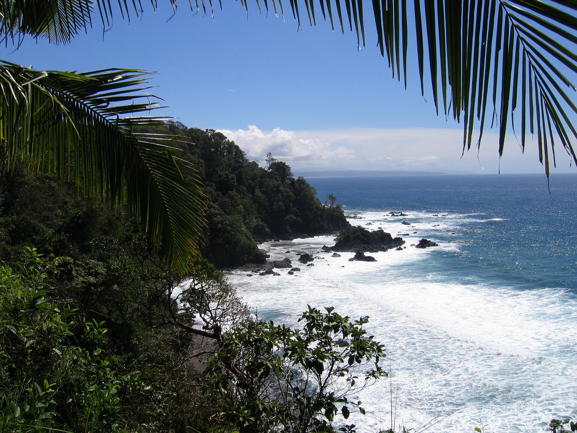
Isla del Caño Biological Reserve
Reserva Biológica Isla del Caño
Added by
Anonymous Curator
Reviewed by
Under Review
Last modified by
Julia Trouin
Description
Located about 16 km off the Osa Peninsula, this island is an oceanic jewel and one of the premier destinations for diving and snorkeling in Costa Rica. It protects stunning coral reefs that attract an immense variety of pelagic marine life. Beyond its biological wealth, the island is home to mysterious stone spheres created by pre-Columbian civilizations.
ClassificationAdministrative and legal categories that govern how this area is managed and protected.
Biological Reserves have very restricted public access (scientific research only). Visitor, fee, and trail data typically do not apply.
HistoryHistorical background, founding story, and timeline of legal protection designation.
Created in 1978. The island has immense archaeological value, as it was used by the Diquis tribes as a cemetery and sacred place. Hundreds of pre-Columbian artifacts have been found, including perfectly round stone spheres. It was formerly a refuge for pirates (like Sir Francis Drake) and a fresh water resupply point, which gave it its name ('Caño').
Surface AreaTotal surface area subdivided by terrestrial, marine, and buffer zones in hectares.
Entry FeesEntry fee structure for Costa Rican residents and international visitors, in CRC and USD.
Entrance fee payment is regulated and usually managed and included by the tour operators offering the tour from the mainland. It is required to book the tour several weeks in advance due to the park's strict visitor quotas.
EcosystemsVegetation communities and ecosystem types present within this protected area.
It protects one of the most extensive and healthy coral reef ecosystems in the Costa Rican Pacific. The island itself is covered by dense humid tropical forest, marked by trees like the cow tree (Brosimum utile). Its coral sand beaches are pristine, and the surrounding sea is exceptionally clear.
WildlifeNotable fauna and flora documented through scientific surveys and long-term monitoring.
The true wealth is underwater: it is common to see giant manta rays, eagle rays, whitetip reef sharks, moray eels, sea turtles, and massive schools of pelagic fish (snappers, jacks, barracudas). En route to the island, spotting humpback whales and several dolphin species is very frequent. On land, wildlife is limited, with some rodents, bats, and resident birds.
How to Get ThereHow to reach this protected area by road, public bus, boat, or guided tour.
Strictly accessible by sea. Most boat tours depart from Drake Bay (about 45 min) or from Uvita and Sierpe (approx. 1.5 hours). Trips depend on sea conditions and are usually done early in the morning.
ClimateTypical weather patterns, temperature ranges, and seasonal rainfall affecting this location.
Warm marine tropical climate (26°C to 32°C). The water is usually warm and very clear during the dry season (January-April). Underwater visibility is excellent, reaching up to 25 meters. During the rainy season, the boat trip can be bumpier.
Visitor RegulationsVisitor rules and restrictions designed to protect the natural heritage of this area.
STRICTLY LIMITED CAPACITY. Being a Biological Reserve, rules are severe: nothing can be extracted (shells, stones, corals). Walking on the island beyond the beach and the trail to the viewpoint is prohibited. It is mandatory to use reef-safe (biodegradable) sunscreen and to dive/snorkel accompanied by certified guides from tour operators.
Best Seasons to Visit
Regions
Facilities & ServicesInfrastructure and services available: ranger stations, restrooms, parking, and lodges.
HighlightsDistinctive features and attractions that make this protected area exceptional.
Main ThreatsDocumented pressures reducing the population: habitat loss, hunting, disease, climate change, and invasive species.
- Pesca ilegal en los límites marinos
- Blanqueamiento de corales por calentamiento global (El Niño)
- Impacto de anclas sobre arrecifes
ConservationActive programs and initiatives working to protect and restore this habitat or area.
- Regulación estricta de cupos de buceo y snorkeling diarios
- Boyas de amarre permanentes para evitar daño por anclas
- Monitoreo arqueológico y biológico constante