
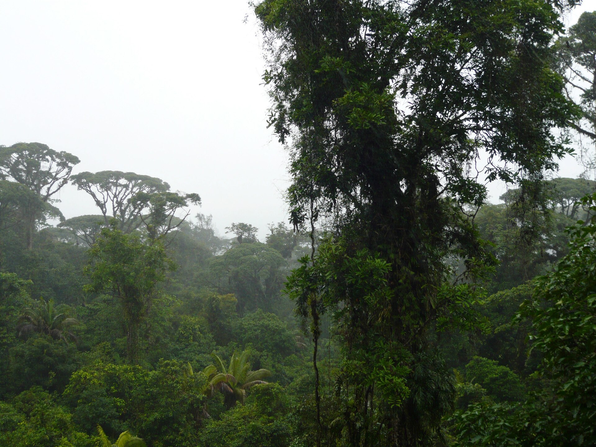
Braulio Carrillo National Park
Parque Nacional Braulio Carrillo
Added by
Anonymous Curator
Reviewed by
Under Review
Last modified by
Julia Trouin
Description
One of Costa Rica's largest and densest parks, characterized by its towering mountains covered in virgin forest and its extremely rugged topography. It is the guardian of the biodiversity connecting the Central Valley with the Caribbean plains, offering evergreen deep jungle landscapes.
ClassificationAdministrative and legal categories that govern how this area is managed and protected.
HistoryHistorical background, founding story, and timeline of legal protection designation.
Created in 1978 as a visionary measure to offset the environmental impact of constructing the San Jose-Guapiles highway (Route 32). It is named after Costa Rica's third Head of State, who promoted opening the road to the Caribbean. Its creation prevented the area from being colonized and deforested.
Surface AreaTotal surface area subdivided by terrestrial, marine, and buffer zones in hectares.
Entry FeesEntry fee structure for Costa Rican residents and international visitors, in CRC and USD.
Mandatory card payment at the Quebrada González or Volcan Barva posts. It is recommended to check the weather forecast before heading to Barva.
EcosystemsVegetation communities and ecosystem types present within this protected area.
The park protects a vast transition of ecosystems ranging from tropical very humid forest to cloud forest on volcanic peaks. It includes volcanoes such as Barva and Cacho Negro, as well as countless rivers, canyons, and waterfalls fed by the high rainfall of the area.
WildlifeNotable fauna and flora documented through scientific surveys and long-term monitoring.
Home to more than 500 species of birds, including the quetzal, the bellbird, and the crested eagle. It is a vital refuge for large mammals such as the jaguar, the tapir, and the puma. Tree ferns, palms, and orchids abound, growing in the constant humidity of its evergreen forest.
How to Get ThereHow to reach this protected area by road, public bus, boat, or guided tour.
The most accessible sector is Quebrada González (Route 32), with well-maintained trails. The Volcan Barva Sector is accessed through Heredia (steep road, 4x4 recommended). It is vital to travel with caution on Route 32 due to fog and the risk of landslides during the rainy season.
ClimateTypical weather patterns, temperature ranges, and seasonal rainfall affecting this location.
Extremely rainy and cool throughout the year. Humidity is nearly 100%. Temperatures vary drastically by altitude, from 24°C in the lowlands to 10°C at the summit of Barva Volcano.
Visitor RegulationsVisitor rules and restrictions designed to protect the natural heritage of this area.
It is forbidden to deviate from the trails (extreme risk of getting lost in the dense jungle). Extraction of plants and disturbing wildlife is not allowed. Suitable footwear for slippery terrain is mandatory. Due to cloud cover, early hikes are recommended.
Best Seasons to Visit
Regions
Facilities & ServicesInfrastructure and services available: ranger stations, restrooms, parking, and lodges.
HighlightsDistinctive features and attractions that make this protected area exceptional.
Main ThreatsDocumented pressures reducing the population: habitat loss, hunting, disease, climate change, and invasive species.
- Cacería furtiva ilegal
- Extracción de orquídeas y plantas
- Vandalismo y robos en vehículos estacionados en Ruta 32
- Expansión de la frontera agrícola
ConservationActive programs and initiatives working to protect and restore this habitat or area.
- Protección de la principal zona de recarga acuífera del Valle Central
- Programa de control y vigilancia en Ruta 32
- Investigación científica de aves de altura