
Juan Castro Blanco National Park
Parque Nacional Juan Castro Blanco
Added by
Anonymous Curator
Reviewed by
Under Review
Last modified by
Julia Trouin
Description
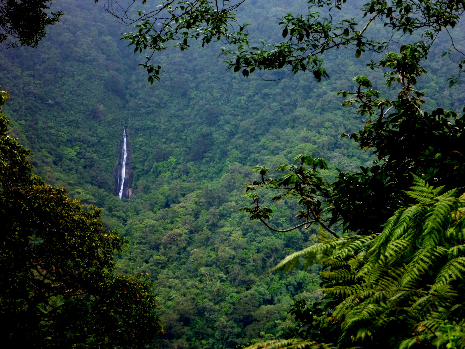
Known as the Water Park, it is one of the areas with the greatest water wealth in Costa Rica. It protects the basins of fundamental rivers for human consumption, irrigation, and power generation. Its terrain is of volcanic origin and houses evergreen cloud forests shrouded in a mystical atmosphere.
ClassificationAdministrative and legal categories that govern how this area is managed and protected.
HistoryHistorical background, founding story, and timeline of legal protection designation.
Created in 1992 thanks to the efforts of local communities and conservationist groups in San Carlos. Its primary goal was to stop deforestation in the water springs that feed the northern zone. It is named after a distinguished local conservationist who fought for the protection of this volcanic massif.
Surface AreaTotal surface area subdivided by terrestrial, marine, and buffer zones in hectares.
Entry FeesEntry fee structure for Costa Rican residents and international visitors, in CRC and USD.
Mandatory card payment. Visits to specific high mountain sectors must be coordinated with park administration.
EcosystemsVegetation communities and ecosystem types present within this protected area.
The park primarily consists of lower montane rainforest and cloud forest. Its geology includes three inactive volcanoes: Platanar, Porvenir, and Viejo. This combination creates an ecosystem of fertile soils and a dense network of streams, waterfalls, and crystal-clear rivers.
WildlifeNotable fauna and flora documented through scientific surveys and long-term monitoring.
It is an important sanctuary for the resplendent quetzal, which nests in the highlands. Great curassows, black-faced solitaires, and a wide variety of hummingbirds are also spotted. Notable mammals include the tapir, red brocket deer, ocelot, and white-faced and howler monkeys.
How to Get ThereHow to reach this protected area by road, public bus, boat, or guided tour.
Main access is through the community of San Jose de la Montaña in Ciudad Quesada. The final stretch requires a vehicle with good traction, preferably a 4x4, especially during months of constant rain.
ClimateTypical weather patterns, temperature ranges, and seasonal rainfall affecting this location.
Cold and very humid. The temperature can drop to 10°C on the peaks. Rain is almost constant, but the summer months (January-April) offer better visibility of the volcanic landscapes.
Visitor RegulationsVisitor rules and restrictions designed to protect the natural heritage of this area.
Entry of single-use plastics is prohibited. It is mandatory to hire guides for high mountain routes. Extraction of plants, mosses, or orchids, as well as disturbing wildlife, is not allowed. Weather conditions may close trails for safety.
Best Seasons to Visit
Regions
Facilities & ServicesInfrastructure and services available: ranger stations, restrooms, parking, and lodges.
HighlightsDistinctive features and attractions that make this protected area exceptional.
Main ThreatsDocumented pressures reducing the population: habitat loss, hunting, disease, climate change, and invasive species.
- Cacería furtiva ilegal
- Extracción de especies botánicas
- Presión por expansión agropecuaria en los límites
ConservationActive programs and initiatives working to protect and restore this habitat or area.
- Protección estricta de zonas de recarga acuífera
- Programas de educación ambiental con comunidades de San Carlos
- Monitoreo biológico participativo