
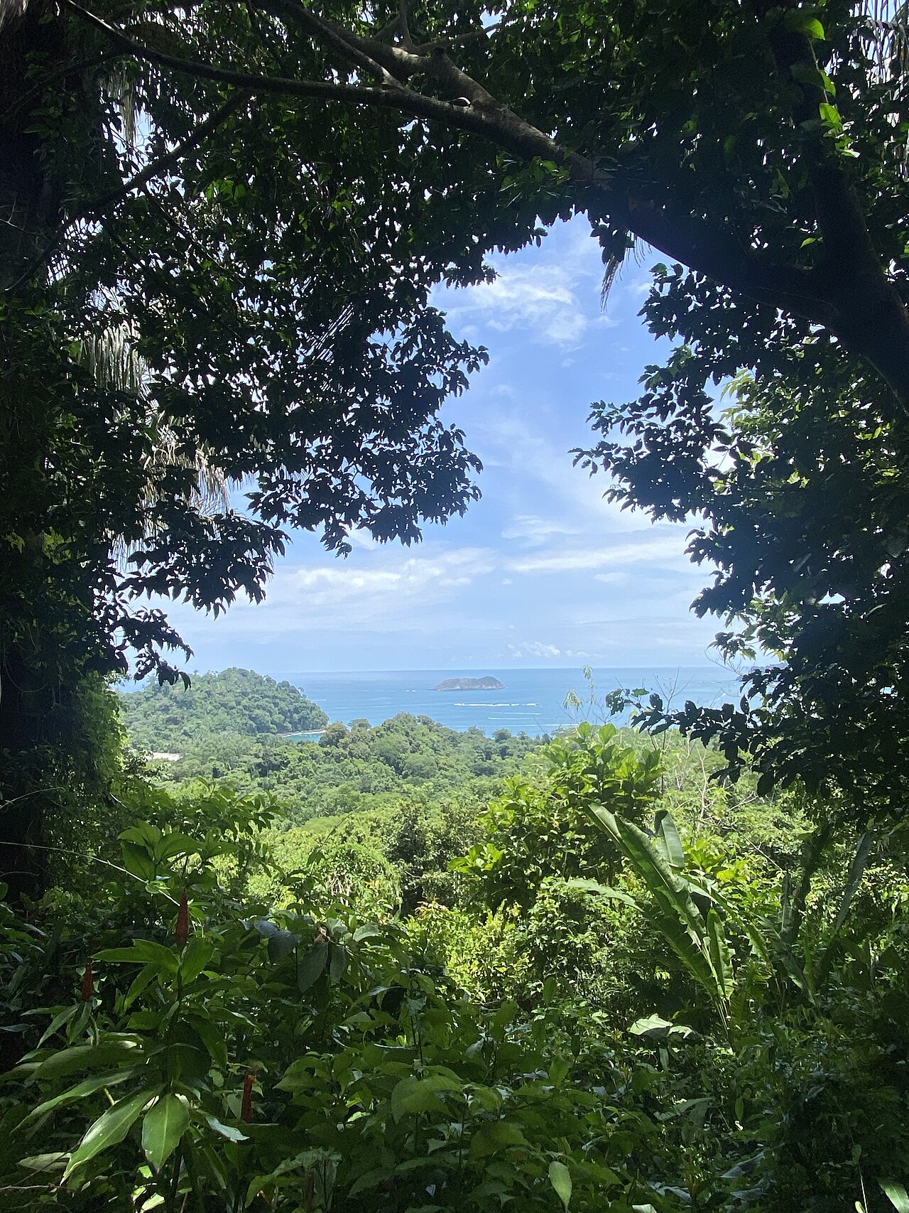
Manuel Antonio National Park
Parque Nacional Manuel Antonio
Added by
Anonymous Curator
Reviewed by
Under Review
Last modified by
Julia Trouin
Description
Manuel Antonio is the crown jewel of Costa Rican tourism, a paradisiacal combination of white sand beaches, coral reefs, and a lush tropical rainforest that reaches the water's edge. Despite being one of the country's smallest parks, its stunning biodiversity and scenic landscapes, such as the iconic tombolo formation of Punta Catedral, have positioned it globally as one of the most beautiful parks on the planet.
ClassificationAdministrative and legal categories that govern how this area is managed and protected.
HistoryHistorical background, founding story, and timeline of legal protection designation.
Established on November 15, 1972, its creation was the result of a historical social struggle by the inhabitants of Quepos, who opposed foreign investors privatizing the beaches and destroying the virgin forest. This community effort managed to save this unique ecosystem, which was formerly the territory of the Quepoa indigenous people. Today it is a symbol of how popular will can dictate the national conservation agenda.
Surface AreaTotal surface area subdivided by terrestrial, marine, and buffer zones in hectares.
Entry FeesEntry fee structure for Costa Rican residents and international visitors, in CRC and USD.
Tickets must be purchased in advance on the SINAC web platform. Physical tickets are NOT sold at the park. NOTE: The park is CLOSED on Tuesdays for maintenance and to reduce stress on wildlife.
EcosystemsVegetation communities and ecosystem types present within this protected area.
The park protects a transition between dry forest and tropical very humid forest. It includes diverse habitats such as coastal mangroves, lagoons, wetlands, and patches of primary and secondary forest. The marine area is equally rich, protecting 12 islands and islets that serve as nesting sites for seabirds and a refuge for vast underwater life in its coral reefs.
WildlifeNotable fauna and flora documented through scientific surveys and long-term monitoring.
It is one of the best places to observe wildlife up close. Highlights include the Squirrel Monkey (Saimiri oerstedii citrinellus), an endangered endemic subspecies of this area. It is also common to see two-toed and three-toed sloths, white-faced capuchin monkeys, howler monkeys, black iguanas, and raccoons. More than 350 species of birds can be observed on the beaches and trails, including toucanets and frigatebirds.
How to Get ThereHow to reach this protected area by road, public bus, boat, or guided tour.
Located about 7 km south of Quepos. Accessed via a scenic paved road. Public transport from Quepos is frequent (every 15-30 min). Access to the park is controlled by a pedestrian bridge over the mangrove. It is essential to arrive with your digital reservation ready.
ClimateTypical weather patterns, temperature ranges, and seasonal rainfall affecting this location.
Very humid and hot tropical climate. Temperatures are usually between 26°C and 33°C. The dry season (December-April) offers radiant days ideal for the beach, while the rainy season (especially October) features sunny mornings and heavy afternoon rains.
Visitor RegulationsVisitor rules and restrictions designed to protect the natural heritage of this area.
STRICTLY PROHIBITED to enter with food of any kind to prevent animals from losing their hunting instincts and becoming aggressive (only water in reusable containers is allowed). Single-use plastics are prohibited. Feeding wildlife, touching animals, or leaving trash is not allowed. Visits are regulated by a maximum daily capacity.
Best Seasons to Visit
Regions
Facilities & ServicesInfrastructure and services available: ranger stations, restrooms, parking, and lodges.
HighlightsDistinctive features and attractions that make this protected area exceptional.
Main ThreatsDocumented pressures reducing the population: habitat loss, hunting, disease, climate change, and invasive species.
- Interacción negativa entre turistas y animales (alimentación)
- Contaminación por aguas residuales de la zona comercial aledaña
- Erosión de senderos por alta visitación
ConservationActive programs and initiatives working to protect and restore this habitat or area.
- Programa estricto de control de ingreso de alimentos
- Monitoreo de la población del mono Tití
- Certificación de guías locales
- Mantenimiento de senderos de bajo impacto