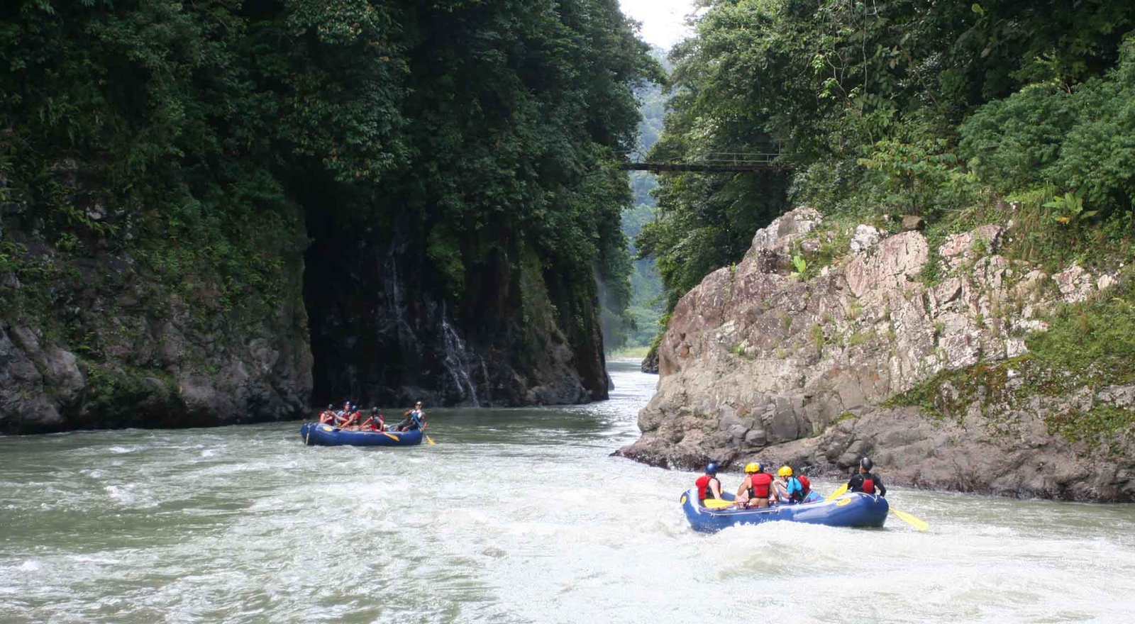
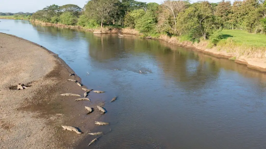
Costa Rica’s rivers and streams form dynamic freshwater systems that flow across every ecological region, from mountain cloud forests to coastal lowlands. These lotic (flowing water) habitats are essential for biodiversity, hydrological balance, and ecosystem connectivity. They support a wide array of aquatic and riparian species, provide vital corridors for wildlife, and supply drinking water, irrigation, and hydroelectric energy. The diversity of stream types — from fast, oxygen-rich mountain torrents to slow, meandering lowland rivers — shapes highly specialized aquatic communities.
Threats for Rivers and Stream
Ecosystem Type
Ecosystem classification is a way of organizing the Earth’s living environments into distinct groups based on shared characteristics like climate, vegetation, soils and topography. By grouping similar habitats—say tropical rainforests, mangroves or dry forests—scientists and land managers can compare ecological processes, conservation needs and resource uses more effectively.
Type: Freshwater ecosystem
Holdridge live zone: Crosses multiple zones: montane rainforest, premontane wet forest, tropical moist forest, etc.
Avarage Altitude: 0–3,000+ meters above sea level
Avarage Climate: Variable (humid tropical to cool montane, depending on elevation)
Precipitations: 2,000–6,000 mm annually; rainfall patterns dictate seasonal flooding and flow rates
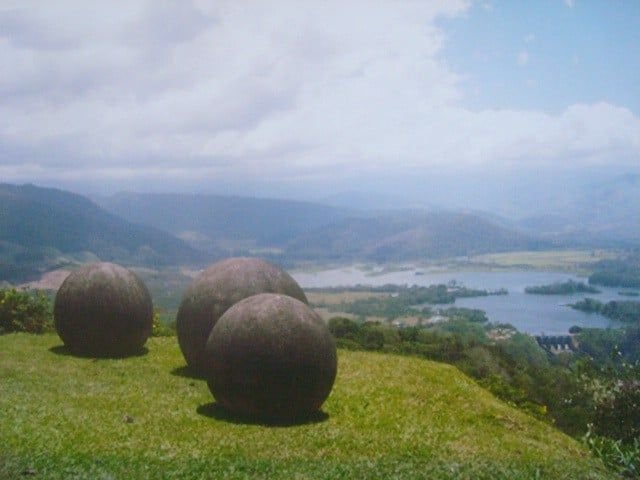
Where in Costa Rica can you find Rivers and Stream?
📍Caribbean and Pacific slopes
📍Talamanca and Central Mountain Ranges
📍Northern Zone, Nicoya Peninsula, and Osa Peninsula
📍Across all national parks and conservation areas
Conservartion areas for Rivers and Stream
%nombre_de_la_organzación_o_proyecto%
%nombre_de_la_organzación_o_proyecto%
%nombre_de_la_organzación_o_proyecto%
%nombre_de_la_organzación_o_proyecto%
%nombre_de_la_organzación_o_proyecto%
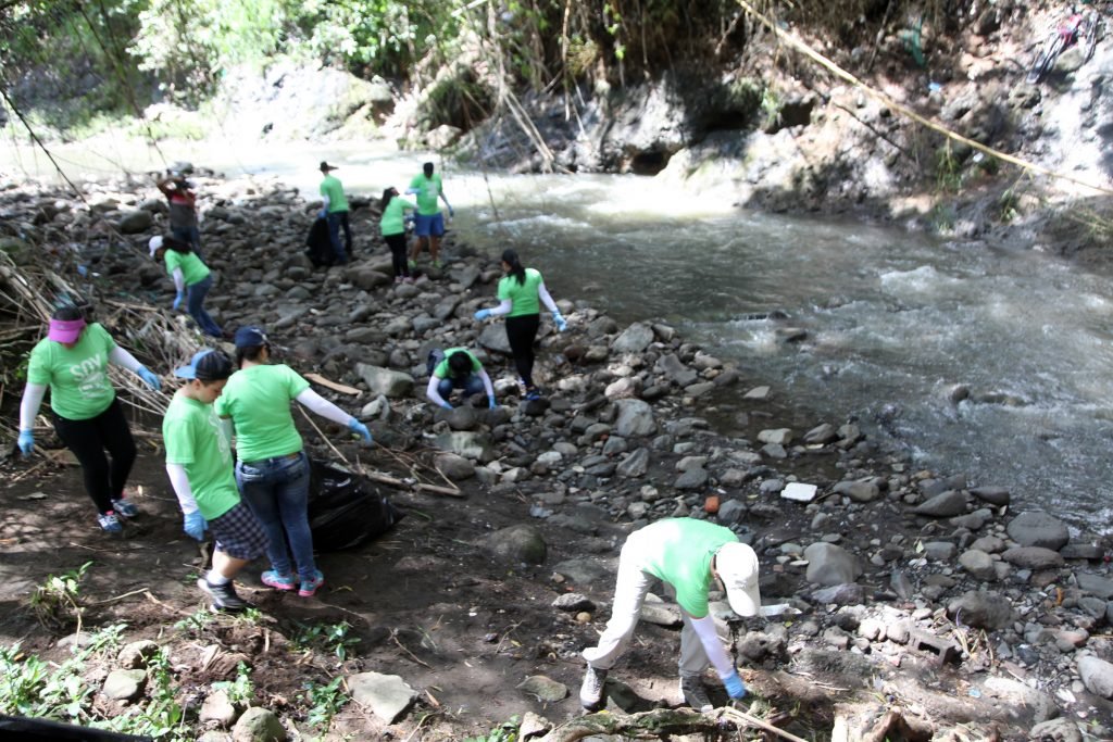
Threats for Rivers and Stream
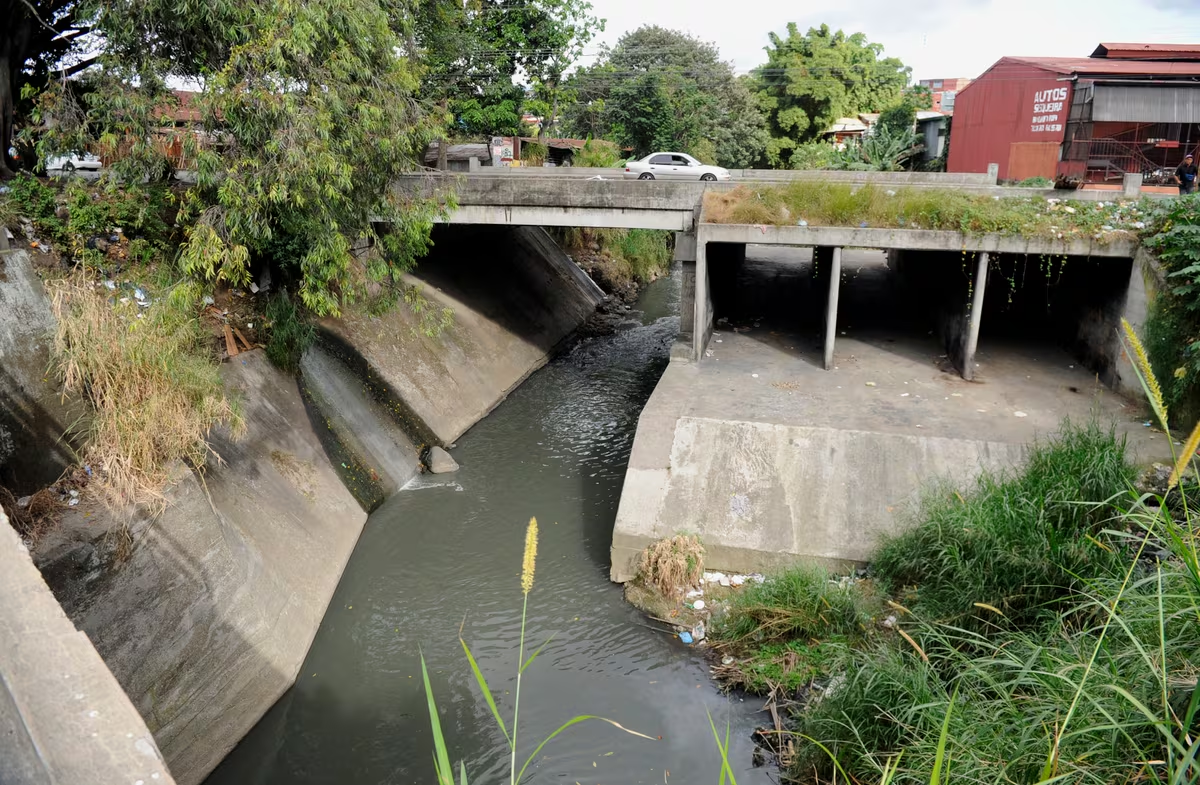
⚠️Deforestation and erosion
⚠️Agricultural runoff and pesticide contamination
⚠️Dams and hydroelectric projects
⚠️Invasive aquatic species
National Parks and reserves with this habitat
Braulio Carrillo National Park (Río Sucio)
Tenorio Volcano National Park (Río Celeste)
Barbilla National Park (Caribbean tributaries)
Piedras Blancas National Park (southern Pacific rivers)
Additonal Data.
Accesibility: High (easily accessed near towns, parks, and roadways)
Best Season to visitRivers and Stream
Dry season (December–April) for clear water; rainy season for peak flow and waterfall activity
Comments and notes
Rivers are critical biological corridors connecting highland and lowland ecosystems. Many Costa Rican amphibians, insects, and fish depend entirely on clean, flowing water. These systems also serve cultural and economic functions for local communities.
Remarcable Fauna in Rivers and Stream
No data was found
Remarcable Florga in Rivers and Stream
Remarcable Fungi in Rivers and Stream
Ecosystem Type
Ecosystem classification is a way of organizing the Earth’s living environments into distinct groups based on shared characteristics like climate, vegetation, soils and topography. By grouping similar habitats—say tropical rainforests, mangroves or dry forests—scientists and land managers can compare ecological processes, conservation needs and resource uses more effectively.
Type: Freshwater ecosystem
Holdridge live zone: Crosses multiple zones: montane rainforest, premontane wet forest, tropical moist forest, etc.
Avarage Altitude: 0–3,000+ meters above sea level
Avarage Climate: Variable (humid tropical to cool montane, depending on elevation)


