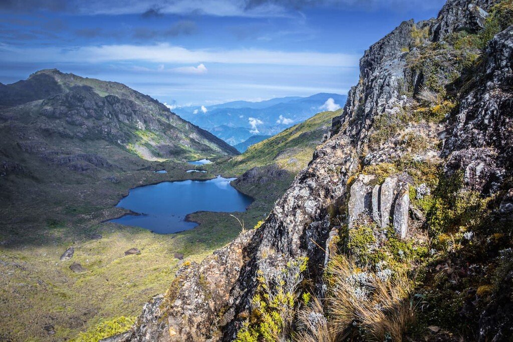
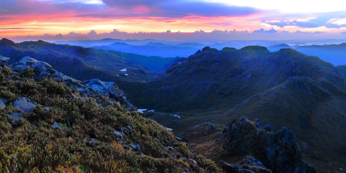
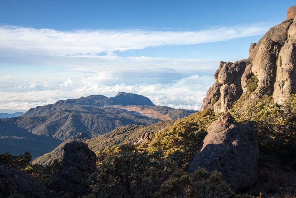
The páramo is a unique high-altitude ecosystem found above the tree line in the Talamanca Mountains of Costa Rica. It is characterized by low temperatures, intense solar radiation, strong winds, and a landscape dominated by grasses, shrubs, cushion plants, and endemic flora.
Despite its harsh conditions, the páramo supports a surprising diversity of life, including species that are specially adapted to cold, nutrient-poor environments. It is also a vital watershed area, capturing and regulating water for lower-elevation ecosystems and human populations.
Threats for Páramo
Ecosystem Type
Ecosystem classification is a way of organizing the Earth’s living environments into distinct groups based on shared characteristics like climate, vegetation, soils and topography. By grouping similar habitats—say tropical rainforests, mangroves or dry forests—scientists and land managers can compare ecological processes, conservation needs and resource uses more effectively.
Avarage Climate: Cold, moist, and windy with high daily temperature variation
Precipitations: 2,000–3,500 mm annually; high humidity, frequent mists, and cloud cover
Where in Costa Rica can you find Páramo?
📍Cordillera de Talamanca
📍Chirripó National Park
📍Cerro de la Muerte (Cerro Buenavista)
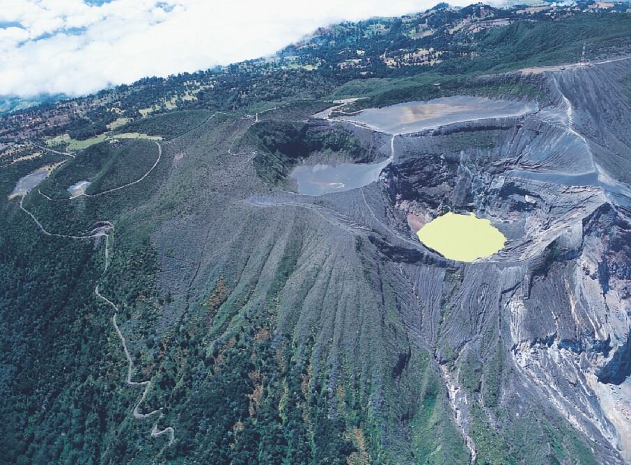
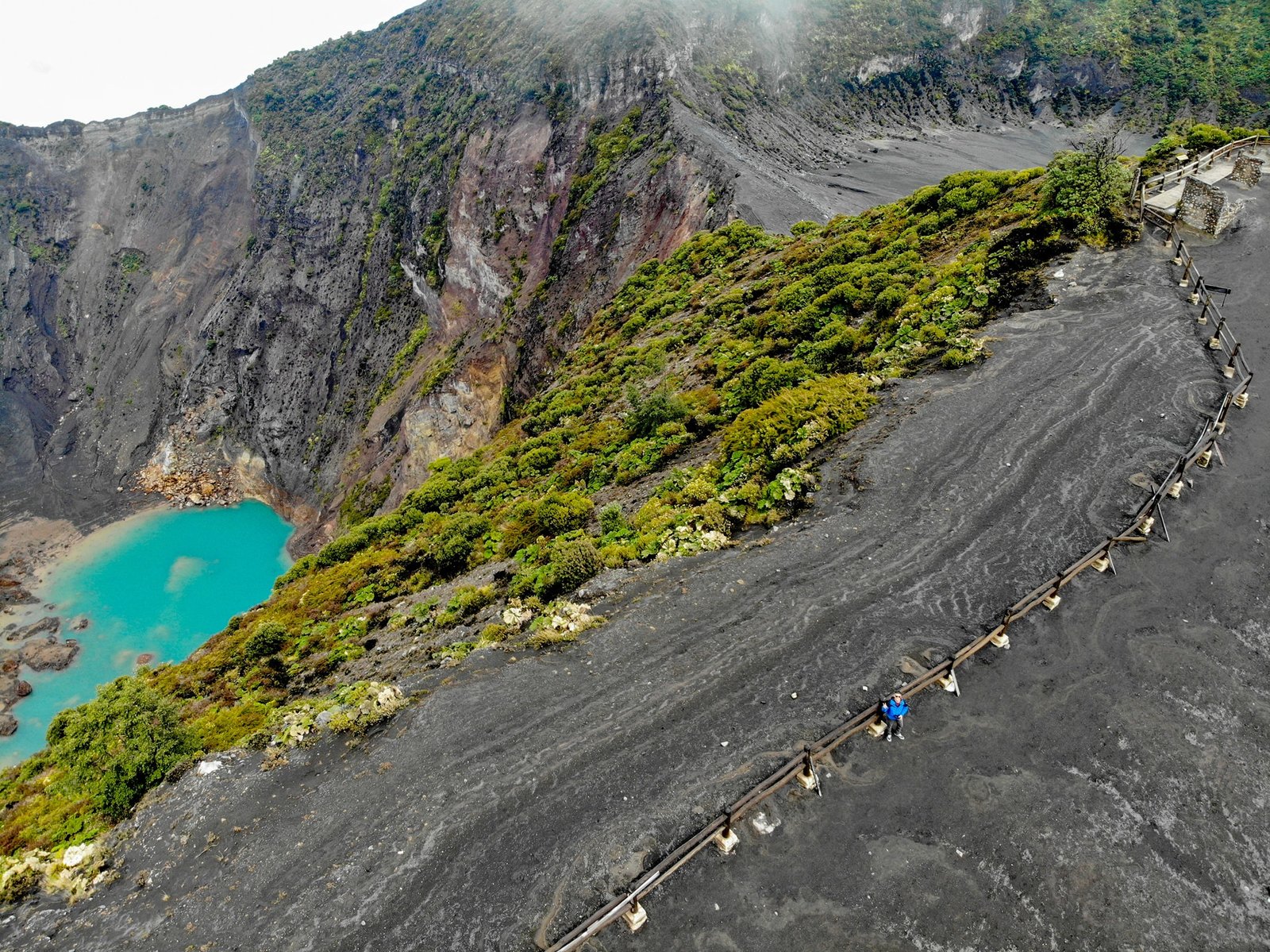
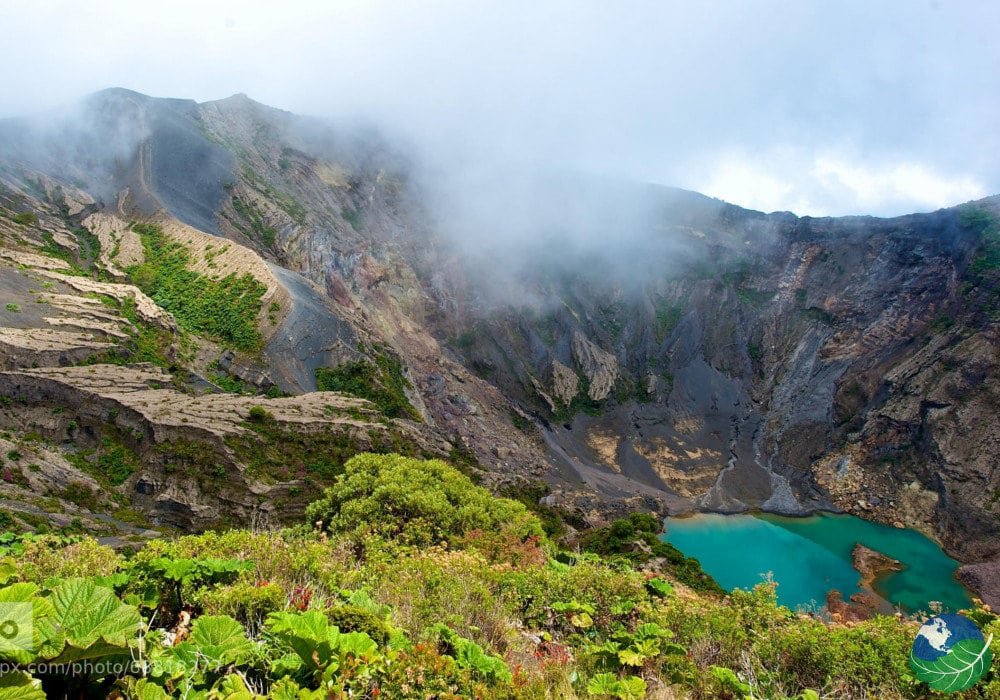
📍Irazú and Turrialba summits (transitional)
Conservartion areas for Páramo
%nombre_de_la_organzación_o_proyecto%
%nombre_de_la_organzación_o_proyecto%
%nombre_de_la_organzación_o_proyecto%
Threats for Páramo
⚠️Climate change and upward shift of tree line
⚠️Invasive species (e.g., pine plantations in some zones)
⚠️Soil erosion from tourism and trail overuse
National Parks and reserves with this habitat
Chirripó National Park
La Amistad International Park
Los Quetzales National Park (transitional zones)
Additonal Data.
Accesibility: Difficult (requires long-distance hiking and high-altitude exposure)
Best Season to visitPáramo
Dry season (January–March) for better trail conditions and clear skies
Comments and notes
The Costa Rican páramo is the southernmost expression of this ecosystem in Central America. It hosts a range of endemic species found nowhere else and is crucial for regulating the headwaters of rivers like the Chirripó and Savegre.
Protected but sensitive to climate change
Elevation gradient map showing páramo extent above 3,000 m
Remarcable Fauna in Páramo
No data was found
Remarcable Florga in Páramo
Remarcable Fungi in Páramo
Ecosystem Type
Ecosystem classification is a way of organizing the Earth’s living environments into distinct groups based on shared characteristics like climate, vegetation, soils and topography. By grouping similar habitats—say tropical rainforests, mangroves or dry forests—scientists and land managers can compare ecological processes, conservation needs and resource uses more effectively.


